Flooding from Storm Chandra
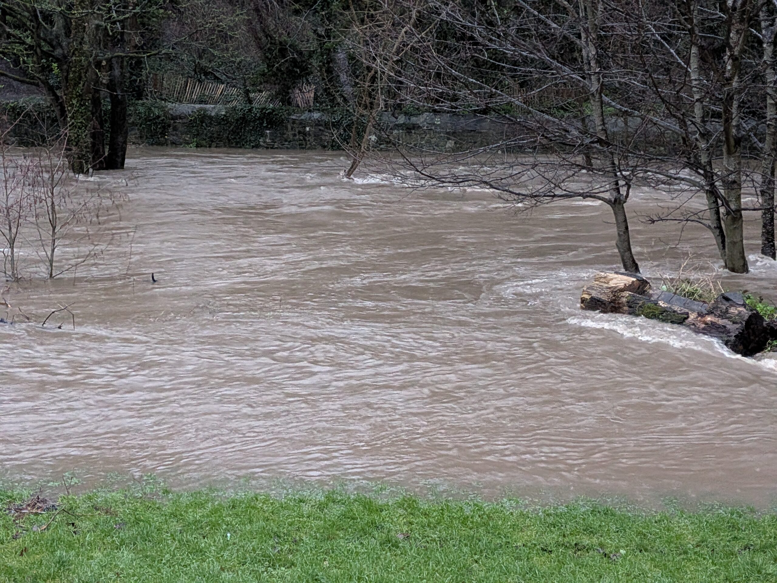
There’s flooding in Churchtown and Rathfarnham this morning as the River Dodder and its feeders burst their banks.
At the Dodder Stepping Stones, I captured the water level at 1.92 metres high. For reference, the stepping stones normally become unsafe at 23 cm.
Here’s a short clip from where the stepping stones are – somewhere in the middle there. The water in the foreground is actually covering a footpath that’s a good metre set up from the river.
Little Dargle
The Little Dargle is a small stream that feeds into the Dodder near to Ely’s Arch on Dodder Road Lower. This stream gets diverted underground in various locations in Rathfarnham – notably in Loreto Park next to the Nutgrove Shopping Centre – and at Badger’s Glen on Braemore Road in Churchtown.
The flooding on Nutgrove Avenue and Dodder Park Road both originated from the Little Dargle busting its banks at the places when it went underground. Either the capacity of the underground pipes wasn’t sufficient for the flow, or the protective grills at the entrance to the pipes were blocked with debris.


